
Why ice shelf collapse research matters for sea level rise
Annunci
Recent polar research shows that ice shelf collapse research plays a vital role in understanding future sea level rise, helping scientists predict how quickly coastal communities across the United States will face rising ocean levels.
As giant floating extensions of land-based glaciers destabilize, they trigger a chain reaction that accelerates ice loss into the ocean.
Understanding the structural mechanics, thermal melting, and buttressing loss associated with these polar formations allows climate scientists, urban planners, and policymakers to develop accurate flooding models and resilient infrastructure strategies.
Punti chiave
- Floating ice shelves act as natural retaining walls that hold back massive land-based ice sheets from sliding into the sea.
- While the melting of floating ice itself does not directly raise sea levels, the structural failure of an ice shelf dramatically accelerates inland glacier flow into the ocean.
- Advanced satellite observations, atmospheric modeling, and oceanographic research provide critical data for climate projection models.
- Accurate ice shelf collapse research helps coastal planners and emergency managers in the United States prepare for localized sea level rise scenarios.
Understanding the Role of Ice Shelves in Earth’s Climate System
To understand why ice shelf collapse research matters for sea level rise projections, it helps to distinguish between floating ice shelves and grounded ice sheets.
Ice shelves are thick platforms of floating ice that form where glaciers and ice sheets flow down to the coastline and extend onto the ocean surface.
Antarctica holds the world’s largest ice shelves, including the Ross Ice Shelf and the Filchner-Ronne Ice Shelf, alongside smaller but highly vulnerable formations like the Larsen C and Thwaites ice shelves.
These floating platforms serve a critical mechanical function known as buttressing.
Like a buttress holding up the wall of a cathedral, an ice shelf creates back-stress that exerts friction against surrounding bedrock, island outcrops, and fjord walls.
This resistance slows down the seaward movement of the grounded glaciers behind them. When an ice shelf remains intact, it acts as a braking mechanism for the colossal volume of ice anchored to the continent.
When environmental conditions weaken an ice shelf to the point of structural failure, that braking force disappears.
++ Perché la scienza dei palloni aerostatici ad alta quota amplia la ricerca atmosferica
The inland glaciers experience rapid acceleration, discharging immense volumes of freshwater into the ocean. It is this secondary effect—the unrestrained flow of land-based ice—that causes ocean levels to climb globally.
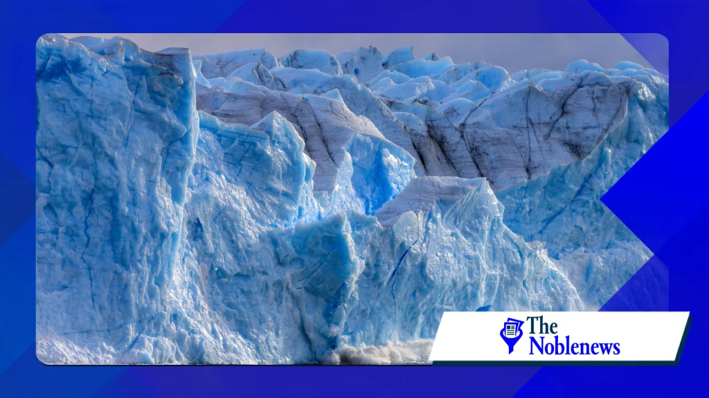
Mechanics of Ice Shelf Collapse: Hydrofracturing and Basal Melting
Scientists studying ice shelf collapse research focus on two primary physical processes that drive structural disintegration: surface hydrofracturing and basal melting.
Surface hydrofracturing occurs when rising air temperatures cause snow and surface ice to melt into liquid water pools during warm seasons. This meltwater collects in surface crevasses.
Because liquid water is denser than ice, it exerts tremendous downward hydrostatic pressure on the cracks. As water fills the crevices, it wedges the ice open, causing deep fractures to spread rapidly across the shelf.
This process was famously observed during the rapid disintegration of the Larsen B Ice Shelf, documented extensively by the Centro dati nazionale su neve e ghiaccio, where thousands of square kilometers of ice fractured and collapsed in just a few weeks.
Basal melting occurs beneath the surface, where warming ocean currents erode the underside of floating ice. Deep, warm ocean water penetrates underneath the ice shelf cavity, thinning the structure from below.
This thinning reduces the shelf’s contact with seafloor anchor points (pinning points) and fjord boundaries, weakening its structural integrity before any visible damage appears on the surface.
Researchers use a combination of remote sensing satellites, autonomous underwater vehicles, and ice-penetrating radar to monitor these twin processes.
Collecting field measurements from hostile polar environments remains challenging, but these empirical datasets are essential for refining climate algorithms.
| Meccanismo | Primary Driver | Observational Tools | Impact on Glacier Acceleration |
|---|---|---|---|
| Surface Hydrofracturing | Warm air temperatures and surface meltwater pooling | High-resolution satellite imagery, aerial surveys | Sudden, catastrophic structural collapse leading to immediate loss of buttressing |
| Basal Melting | Warm ocean currents entering ice shelf cavities | Underwater drones, radar sounding, ocean mooring sensors | Progressive thinning, detachment from seafloor pinning points, long-term instability |
| Marine Ice Cliff Instability | Gravity-driven structural failure of tall, exposed ice cliffs | Numerical stress modeling, ice-front monitoring | Potential runaway ice loss on thick glaciers lacking ice shelves |
As shown in the comparison table, different environmental drivers operate on distinct timescales.
Per saperne di più: La ricerca di mondi abitabili al di fuori del nostro sistema solare nel 2026
Basal melting acts as a slow, insidious process that thins the ice, whereas surface hydrofracturing can trigger catastrophic failure in a matter of days. Integrating both mechanisms into unified predictive models remains a key objective of modern polar science.
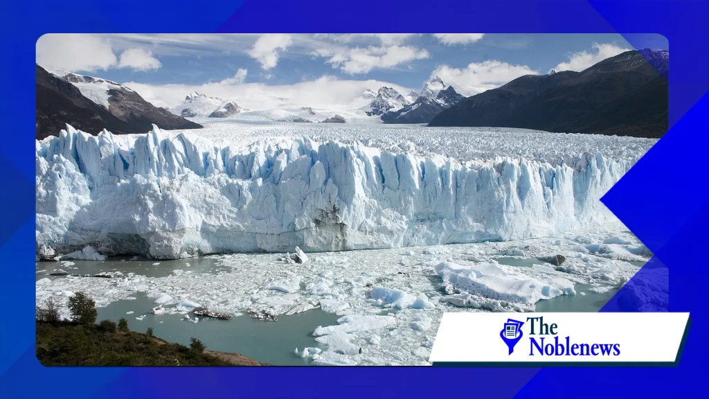
Why Ice Shelf Collapse Research Directly Affects U.S. Coastal Communities
The localized impact of global sea level rise is not uniformly distributed across the globe. Gravitational forces, ocean currents, and Earth’s rotation cause seawater to redistribute unevenly when polar ice melts.
Consequently, ice loss in Antarctica has a direct and disproportionate effect on sea levels along the Atlantic, Pacific, and Gulf coasts of the United States.
When land-based ice melts in West Antarctica following the collapse of a stabilizing ice shelf, the reduced mass alters the continent’s local gravitational pull.
As the ice sheet loses mass, water is drawn away from the South Pole and redistributed toward the Northern Hemisphere.
Regional scenarios published by the Amministrazione nazionale oceanica e atmosferica indicate that Antarctic ice loss can raise sea levels along specific U.S. coastlines at rates significantly higher than the global average.
Cities such as Norfolk, Miami, Galveston, and New York rely on sea level rise projections to design seawalls, upgrade stormwater drainage systems, and update zoning regulations.
If ice shelf research fails to account for rapid collapse mechanisms, these municipal engineering designs risk underestimating future flood frequencies and storm surge impacts.
Translating Polar Data into Actionable Coastal Planning
Incorporating polar field data into municipal planning involves translating complex ice dynamics into actionable sea level rise scenarios.
Civil engineers and climate policy specialists rely on risk assessment models that project sea level thresholds over 30-, 50-, and 100-year planning horizons.
To use ice shelf research effectively, risk management teams generally follow a structured evaluation framework:
Review regional projections: Analyze localized sea level scenarios established by federal climate agencies and international scientific panels.
Identify vulnerable infrastructure: Map critical assets—including power grids, wastewater treatment facilities, transport corridors, and residential zones—against low-, medium-, and high-end sea level rise trajectories.
Establish adaptive trigger points: Design infrastructure projects with flexible adaptation pathways that can be scaled up if polar research indicates accelerated ice shelf breakdown.
Update risk disclosure standards: Ensure real estate development policies and flood insurance maps reflect current scientific consensus regarding polar ice instability.
++ Come le app di scambio linguistico connettono le comunità globali
Common mistakes in coastal adaptation include relying solely on historical tide gauge data without accounting for non-linear ice collapse mechanisms, or assuming that sea level rise will proceed at a linear, predictable rate throughout the century.
Conclusione
Ice shelf collapse research provides the foundational data needed to understand global sea level dynamics and protect vulnerable coastal regions.
By revealing how ocean warming and surface melting weaken the structural buttresses holding back massive glaciers, polar scientists help remove uncertainty from long-term climate models.
For communities across the United States, staying informed on breakthroughs in polar research is an essential requirement for building resilient, future-ready infrastructure.
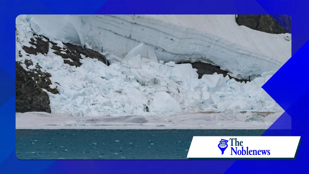
Domande frequenti
Does the melting of an ice shelf directly raise sea level?
No, because ice shelves are already floating in the ocean, their direct melting does not displace additional water or raise sea levels directly.
However, because ice shelves hold back grounded glaciers on land, their collapse allows those inland glaciers to slide rapidly into the ocean, which causes significant sea level rise.
How quickly can an ice shelf collapse once destabilization begins?
While thinning from ocean heat takes decades, the final disintegration driven by surface hydrofracturing can occur remarkably fast.
For example, the Larsen B Ice Shelf shattered within a span of approximately six weeks in early 2002 after years of progressive weakening.
Why does Antarctic ice melt affect U.S. coastlines so significantly?
Due to gravitational shifts and Earth’s rotation, when the massive Antarctic ice sheet loses weight, its gravitational pull decreases.
This allows ocean water to redistribute northward, resulting in higher-than-average sea level rise along North American coastlines compared to the global average.
++ Models of Glacial Collapse in Antarctica Improve Predictions of Sea-Level Rise
++ Reconsidering the drivers of ice-shelf collapse
\