
The rise of VR tunnel inspections for civil engineering
Anuncios
Sin embargo, VR tunnel inspections are fundamentally transforming infrastructure management by pairing immersive virtual environments with digital twin technology and autonomous data capture.
Traditional tunnel maintenance presents a logistical headache for civil engineers: high costs, severe safety risks, and prolonged lane closures.
By shifting initial diagnostic workflows from hazardous underground environments to dynamic 3D visual environments, engineering teams detect structural anomalies faster, lower operational expenses, and extend asset lifespans.
Conclusiones clave
- Virtual reality (VR) and digital twin integration allow civil engineers to conduct high-precision tunnel assessments remotely, drastically minimizing hazardous track-side hours.
- Photogrammetry and LiDAR data fusion render sub-millimeter accurate spatial models, improving crack detection and structural monitoring.
- Proactive maintenance workflows reduce traffic disruption, cut operational costs by up to 40%, and streamline regulatory compliance.
- Spatial computing tools enable multi-stakeholder collaboration across dispersed global teams in real time.
What Is driving the shift toward VR tunnel inspections?
Aging underground infrastructure across North America and Europe requires continuous, meticulous monitoring. Historically, structural engineers relied on visual inspections, tactile tests, and manual photographic logs.
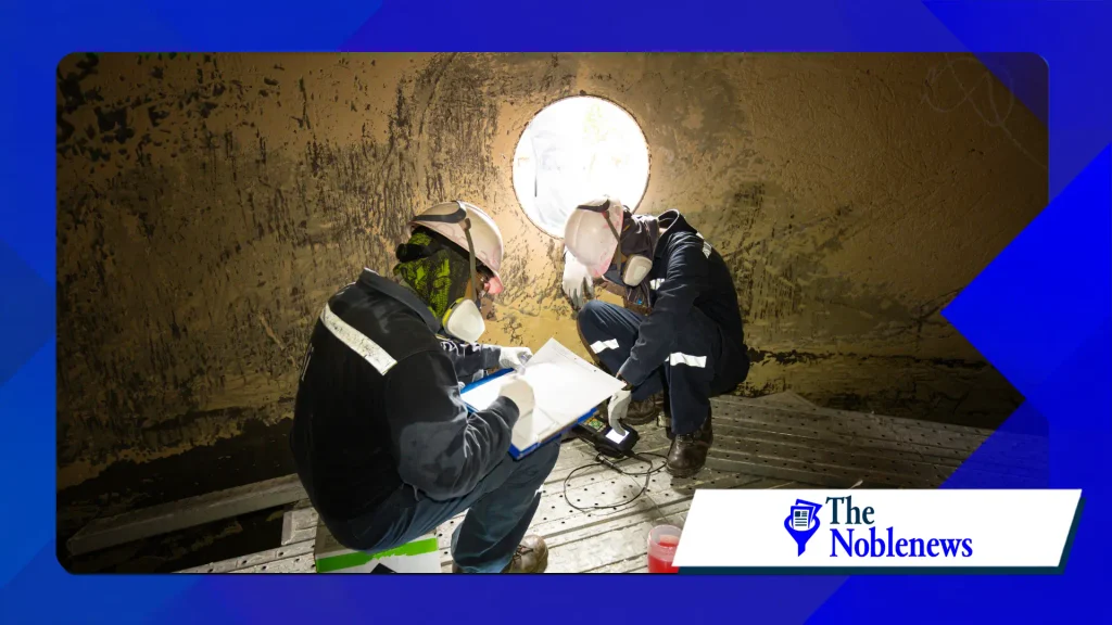
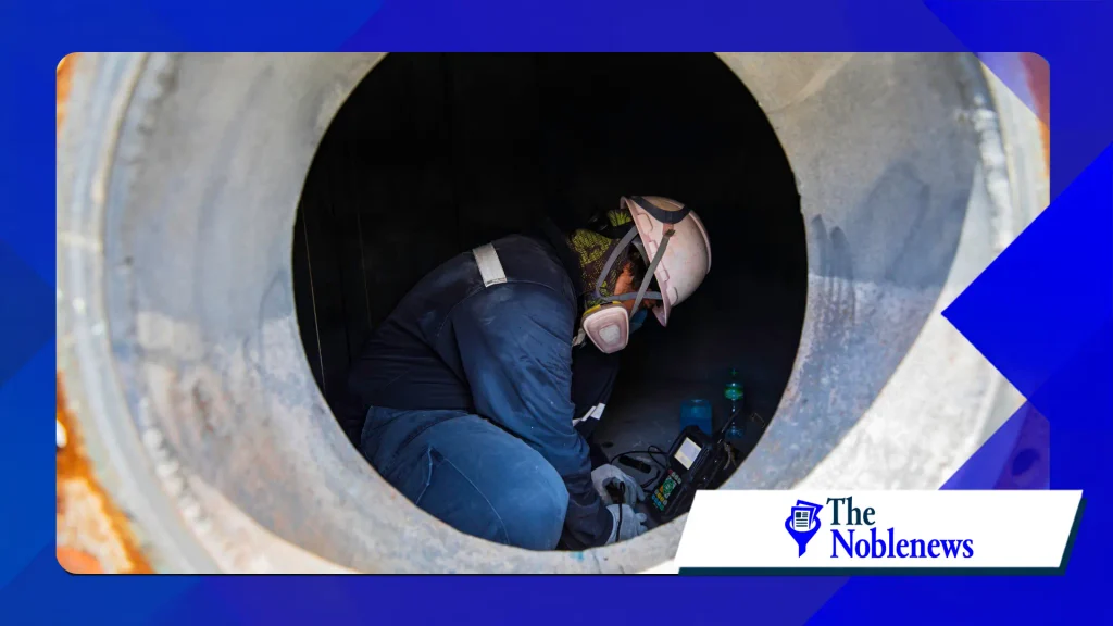
Inspectors worked in tight spaces, at high elevations, and under strict time constraints during night shifts or full tunnel shutdowns.
Manual data collection often produces fragmented site intelligence.
A visual inspector might catch surface scaling or moisture seepage, but cross-referencing paper notes with historical CAD drawings takes days. Furthermore, human error in dangerous environments remains a persistent liability.
Virtual reality bridges the gap between field data acquisition and engineering analysis.
Rather than placing human workers inside a claustrophobic subterranean structure during peak operational hours, autonomous mobile mapping systems—equipped with LiDAR scanners, thermographic sensors, and high-resolution optical cameras—capture raw spatial data.
Specialized software ingests these datasets to generate interactive 3D virtual environments, allowing senior structural experts to inspect every square inch of concrete lining from an office desktop or headset.
How do VR tunnel inspection systems work in practice?
The transition from physical concrete to an immersive virtual workflow relies on three core technological layers: reality capture, spatial model rendering, and collaborative analysis.
1. Autonomous Data Capture
Survey crews or automated rail vehicles deploy through the tunnel bore. These platforms carry multi-directional LiDAR arrays, photogrammetric camera rigs, and infrared thermal imaging tools.
++ Juegos de realidad virtual que se sienten sorprendentemente reales.
The hardware captures millions of spatial points per second alongside high-resolution surface textures.
2. Digital Twin Processing
Raw point clouds undergo automated filtering, registration, and meshing. Algorithms align spatial coordinates with GIS data, converting disconnected points into an immersive, geo-referenced digital twin.
Thermal data overlays onto the geometry, revealing subterranean water leaks, void formation, and structural insulation failures invisible to the naked eye.
3. Spatial Analysis in VR
Engineers don spatial headsets or utilize desktop VR interfaces to navigate the digital model.
Virtual avatars allow experts to inspect overhead vaulting at 1:1 scale, magnify micro-fractures down to sub-millimeter resolution, and apply dynamic volumetric measurements.
Engineers reviewing complex structural assets frequently rely on guidance from public transportation authorities; the Federal Highway Administration bridge and tunnel inspection standards provide the baseline metrics for physical and digital asset logging.
What are the primary benefits of VR tunnel inspections?
Deploying spatial computing underground delivers immediate returns across safety, financial, and analytical metrics.
Enhanced Inspector Safety
Eliminating the need for inspectors to stand on mobile scaffolding alongside active rail tracks or busy highway lanes dramatically lowers workplace injury risks.
Leer más: Cómo la realidad virtual (RV) está cambiando la industria de los videojuegos.
Field personnel focus on deploying data-gathering hardware, while senior specialists complete diagnostic evaluations safely from control centers.
Uninterrupted Asset Uptime
Closing a major transit tunnel costs local economies millions per hour in delayed commerce and redirected traffic.
VR inspection pipelines require brief, automated scan passes during scheduled maintenance windows, allowing facilities to remain operational without long daytime closures.
Historical Defect Tracking over Time
Digital twins serve as living archives. Engineers overlay 3D scans from different years to monitor crack expansion rates, surface spalling, or structural displacement.
++ El auge del turismo fotográfico de naturaleza en todo el mundo.
Automated change-detection software highlights structural changes over time, alerting maintenance managers before minor degradation escalates into catastrophic failure.
How do spatial computing tools compare to traditional manual methods?
A detailed comparative analysis highlights why transportation departments and private engineering firms are shifting capital budgets toward immersive diagnostic technology.
| Característica / Métrica | Traditional Manual Inspection | VR Digital Twin Inspection |
| Field Time Required | High (Days/Weeks of night shifts) | Low (Hours for automated scanning) |
| Data Resolution | Subjective, 2D photos, hand sketches | Objective 3D point clouds, sub-millimeter meshes |
| Safety Exposure | Direct exposure to traffic, dark spaces, heights | Zero direct hazard during analysis phase |
| Defect Localization | Approximate log notes and station marks | Precise geo-referenced 3D spatial coordinates |
| Cross-Team Collaboration | Fragmented PDF reports and static images | Real-time multi-user VR environment walkthroughs |
| Longitudinal Analysis | Difficult comparison of static photo logs | Automated 3D point-cloud delta comparisons |
What challenges slow down VR implementation in civil engineering?
While the advantages are undeniable, integrating VR into municipal infrastructure workflows presents specific technical and organizational hurdles.
Massive Data Storage Demands
High-density LiDAR and high-resolution photogrammetry generate terabytes of raw spatial data per kilometer of tunnel.
Engineering organizations must implement robust cloud pipelines, edge computing units, and spatial optimization algorithms to stream dense models without rendering lag or latency.
Upfront Hardware and Software Costs
Purchasing autonomous rovers, specialized sensors, spatial headsets, and enterprise software licenses requires significant initial capital. Municipal entities must balance short-term procurement costs against long-term operational savings.
Standardized Reporting Frameworks
Legacy infrastructure guidelines often mandate physical hand-signed site journals. Integrating spatial digital models into existing legal and compliance frameworks requires updating municipal inspection codes.
Detailed technical guidelines published by the American Society of Civil Engineers help bridge this gap by defining data integrity standards for civil infrastructure digital twins.
What are the practical steps to implement VR inspections?
Engineering firms looking to modernize asset management protocols can follow a structured adoption pathway to minimize operational friction.
Conduct a Pilot Asset Assessment: Select a high-traffic or access-restricted tunnel segment to test mobile reality capture against traditional manual logs.
Establish Data Standardizations: Define precise spatial formatting, point-cloud density requirements, and layer tags across GIS and BIM software.
Deploy Edge-Computing Processing: Equip survey vehicles with local processing hardware to convert raw sensor feeds into light, streamable 3D assets quickly.
Train Structural Engineers on VR Interfaces: Transition senior asset managers from desktop-bound CAD viewers to intuitive spatial navigation environments.
Integrate Predictive AI Analytics: Apply computer vision tools directly to spatial meshes to highlight prospective structural defects automatically during VR walkthroughs.
Preguntas frecuentes
Do VR tunnel inspections completely eliminate the need for physical site visits?
No. While virtual reality handles initial diagnostic reviews, structural tracking, and team collaboration, physical site visits remain necessary for hands-on core sampling, physical material testing, and targeted repairs.
How accurate are crack measurements taken within a VR tunnel model?
Modern high-density photogrammetry combined with calibrated LiDAR sensors yields sub-millimeter spatial accuracy, enabling engineers to track micro-cracks as narrow as 0.2 millimeters inside the virtual environment.
Can legacy BIM software integrate with modern VR tunnel inspection platforms?
Yes. Enterprise spatial platforms natively import standard BIM and CAD formats (such as IFC, OBJ, and DWG), allowing teams to overlay original design geometry directly onto real-world point clouds.
++ Rise of virtual and augmented reality technology in construction management
++ 3D Visualisation in Railway Tunnel SubSurface Inspection
